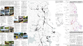
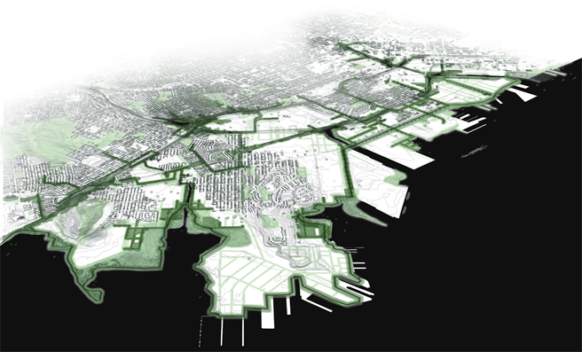
In 2011, Sarah Moos identified and mapped an alternative open space network of underutilized and vacant lots and unaccepted streets in the southeast waterfront. This network has the potential to connect the proposed Blue Greenway parks with adjacent neighborhoods and also to generate a set of new parks, or complexes, that aggregate open spaces. The project catalogues all of the underutilized spaces in the southeast waterfront and creates a typology that could be used to develop a tool kit of alternatives for transforming these places.
Related sites: Visit
See the map:
Unaccepted Streets Page 1
Unaccepted Streets Page 2